R.A.F. Burtonwood
Introduction
The photograph on this page of R.A.F. Burtonwood by andy as part of the Geograph project.
The Geograph project started in 2005 with the aim of publishing, organising and preserving representative images for every square kilometre of Great Britain, Ireland and the Isle of Man.

There are currently over 7.5m images from over 14,400 individuals and you can help contribute to the project by visiting https://www.geograph.org.uk
R.A.F. Burtonwood
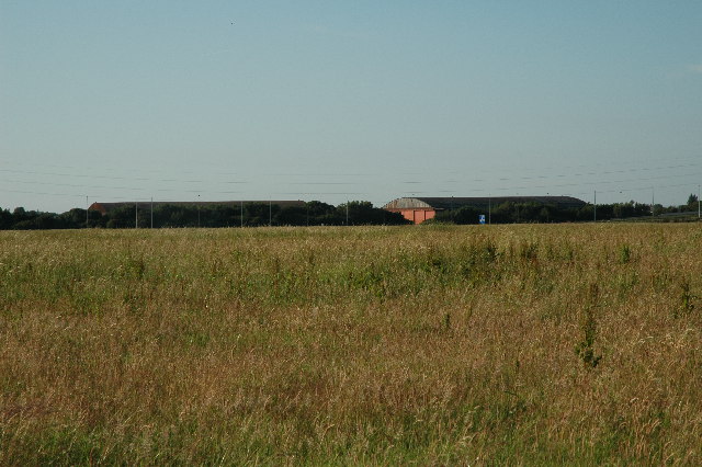
Image: © andy Taken: 23 Jun 2005
Two massive hangars which used to be part of Burtonwood airbase before it was shut down due to mining subsidence in the area. I'm actually standing in SJ5690 and I zoomed in slightly to make the hangars the main subject of this photograph. The M62 runs east/west just in front of the hangars and you can just make out a blue sign and the lamp posts along the motorway.
Images are licensed for reuse under creativecommons.org/licenses/by-sa/2.0
Image Location


Leaflet Map data © OpenStreetMap
Latitude
53.416501
Longitude
-2.651137