Council/Private Housing - Greenwood Avenue
Introduction
The photograph on this page of Council/Private Housing - Greenwood Avenue by John M as part of the Geograph project.
The Geograph project started in 2005 with the aim of publishing, organising and preserving representative images for every square kilometre of Great Britain, Ireland and the Isle of Man.

There are currently over 7.5m images from over 14,400 individuals and you can help contribute to the project by visiting https://www.geograph.org.uk
Council/Private Housing - Greenwood Avenue
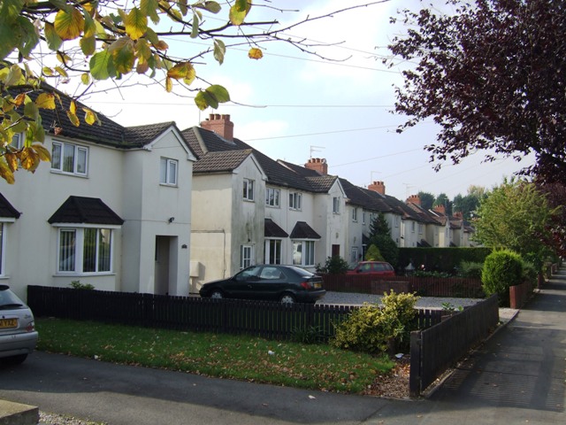
Image: © John M Taken: 10 Oct 2010
Wolverhampton Council purchased land for the Oxley Estate around 1920 erecting around 50 houses a year between 1921 and 1924. The houses were sold in the mid 1920s as tenancies became vacant. A similar approach was used for properties in Gibbons Road Image
Images are licensed for reuse under creativecommons.org/licenses/by-sa/2.0
Image Location
Latitude
52.610124
Longitude
-2.132423