The Red Lion
Introduction
The photograph on this page of The Red Lion by roger geach as part of the Geograph project.
The Geograph project started in 2005 with the aim of publishing, organising and preserving representative images for every square kilometre of Great Britain, Ireland and the Isle of Man.

There are currently over 7.5m images from over 14,400 individuals and you can help contribute to the project by visiting https://www.geograph.org.uk
The Red Lion
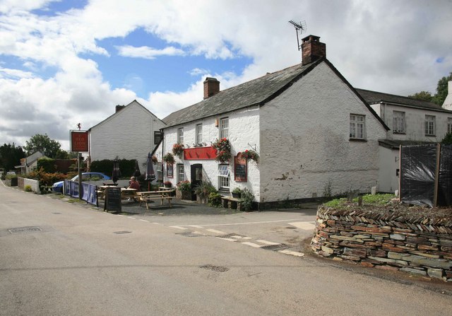
Image: © roger geach Taken: 23 Sep 2010
Seen in the afternoon sun this road was once the main A39 until St Kew was bypassed.A new Cornish hedge can be seen on the right fronting the road with some fine stonework.
Images are licensed for reuse under creativecommons.org/licenses/by-sa/2.0
Image Location
Latitude
50.547162
Longitude
-4.778322