Isolated group of houses, Brynglas Avenue, Newport
Introduction
The photograph on this page of Isolated group of houses, Brynglas Avenue, Newport by Jaggery as part of the Geograph project.
The Geograph project started in 2005 with the aim of publishing, organising and preserving representative images for every square kilometre of Great Britain, Ireland and the Isle of Man.

There are currently over 7.5m images from over 14,400 individuals and you can help contribute to the project by visiting https://www.geograph.org.uk
Isolated group of houses, Brynglas Avenue, Newport
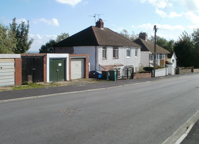
Image: © Jaggery Taken: 6 Oct 2010
These houses on the east side of Brynglas Avenue are separated from houses to the north by a 50-metre row of garages and from houses to the south by a 60 metre wide open space. http://www.geograph.org.uk/photo/1643009
Images are licensed for reuse under creativecommons.org/licenses/by-sa/2.0
Image Location
Latitude
51.603705
Longitude
-2.996251