North end of nature trail, Malpas
Introduction
The photograph on this page of North end of nature trail, Malpas by Jaggery as part of the Geograph project.
The Geograph project started in 2005 with the aim of publishing, organising and preserving representative images for every square kilometre of Great Britain, Ireland and the Isle of Man.

There are currently over 7.5m images from over 14,400 individuals and you can help contribute to the project by visiting https://www.geograph.org.uk
North end of nature trail, Malpas
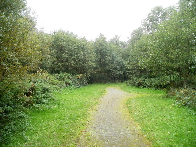
Image: © Jaggery Taken: 8 Oct 2010
This is the northern end, at railings, of a path through a narrow strip of undeveloped land used as a nature trail, between the Pilton Vale and Claremont housing estates on the west side and the A4042 on the east side.
Images are licensed for reuse under creativecommons.org/licenses/by-sa/2.0
Image Location
Latitude
51.617165
Longitude
-2.999434