Dalston: John Campbell Road
Introduction
The photograph on this page of Dalston: John Campbell Road by Dr Neil Clifton as part of the Geograph project.
The Geograph project started in 2005 with the aim of publishing, organising and preserving representative images for every square kilometre of Great Britain, Ireland and the Isle of Man.

There are currently over 7.5m images from over 14,400 individuals and you can help contribute to the project by visiting https://www.geograph.org.uk
Dalston: John Campbell Road
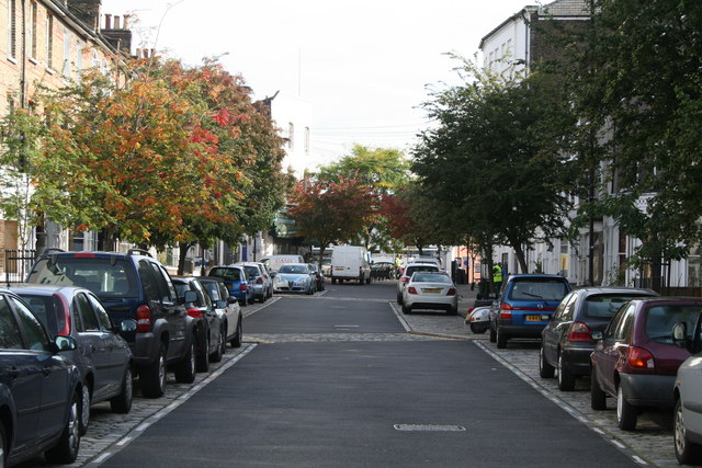
Image: © Dr Neil Clifton Taken: 7 Oct 2010
Looking east from its junction with Crossway, towards Kingsland High Street. This eastern stub is all that now remains of John Campbell Road. Formerly it was a much longer road, with a portion extending west of Boleyn Road (formerly Back Road). It lost this part when the new road, Crossway, was built after WWI.
Images are licensed for reuse under creativecommons.org/licenses/by-sa/2.0
Image Location
Latitude
51.549992
Longitude
-0.075839