The Orchard
Introduction
The photograph on this page of The Orchard by David Dixon as part of the Geograph project.
The Geograph project started in 2005 with the aim of publishing, organising and preserving representative images for every square kilometre of Great Britain, Ireland and the Isle of Man.

There are currently over 7.5m images from over 14,400 individuals and you can help contribute to the project by visiting https://www.geograph.org.uk
The Orchard
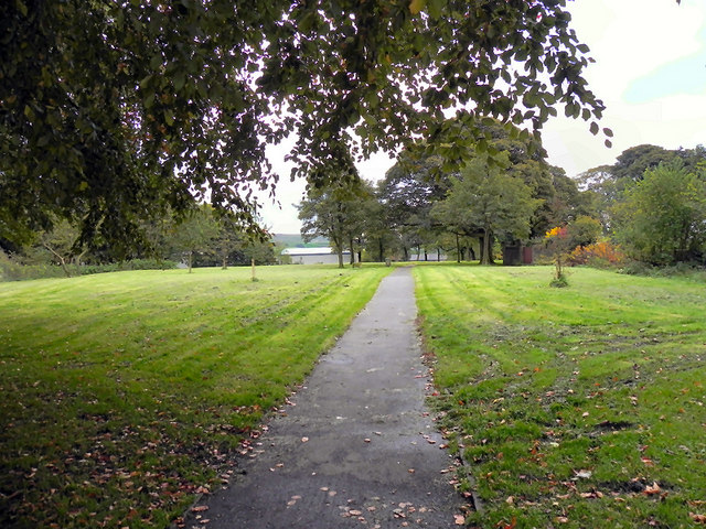
Image: © David Dixon Taken: 6 Oct 2010
Public footpath from Helmshore Road to York Avenue, through land known locally as "the Orchard". It was originally part of the Helmcroft Estate.
Images are licensed for reuse under creativecommons.org/licenses/by-sa/2.0
Image Location
Latitude
53.694041
Longitude
-2.327142