Wolstanton High Street
Introduction
The photograph on this page of Wolstanton High Street by Derek Harper as part of the Geograph project.
The Geograph project started in 2005 with the aim of publishing, organising and preserving representative images for every square kilometre of Great Britain, Ireland and the Isle of Man.

There are currently over 7.5m images from over 14,400 individuals and you can help contribute to the project by visiting https://www.geograph.org.uk
Wolstanton High Street
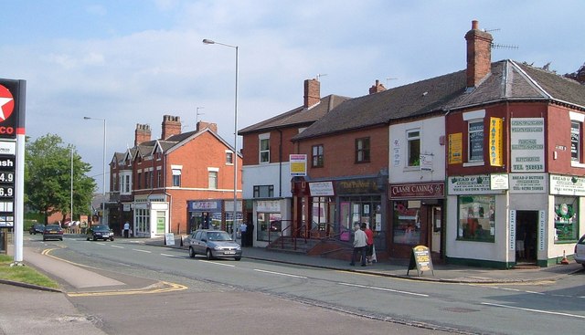
Image: © Derek Harper Taken: 30 Jun 2006
The northeast side of the street, with James Street and Emberton Street the roads joining on the right. My father was born in Wolstanton; this photo was taken, I would guess, well over 70 years after he last saw the place - I wonder how much has changed? Doubtless there were buildings on the left where the service station now is. And it seems unlikely that there would have been a sports massage parlour or a canine beautician.
Images are licensed for reuse under creativecommons.org/licenses/by-sa/2.0
Image Location
Latitude
53.032858
Longitude
-2.21946