Stryd Fawr (High Street), Llanon
Introduction
The photograph on this page of Stryd Fawr (High Street), Llanon by John Lucas as part of the Geograph project.
The Geograph project started in 2005 with the aim of publishing, organising and preserving representative images for every square kilometre of Great Britain, Ireland and the Isle of Man.

There are currently over 7.5m images from over 14,400 individuals and you can help contribute to the project by visiting https://www.geograph.org.uk
Stryd Fawr (High Street), Llanon
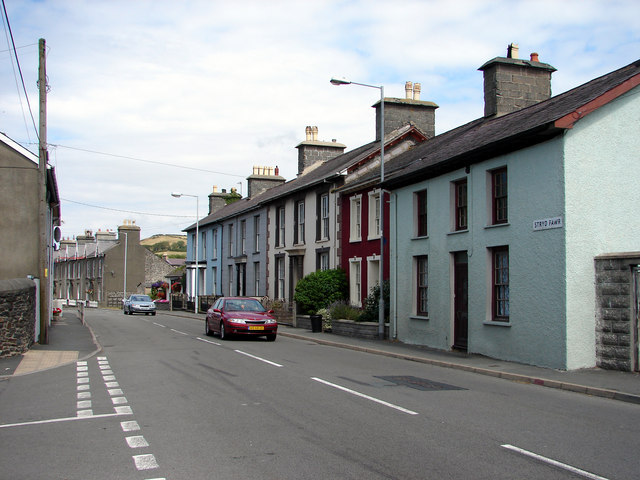
Image: © John Lucas Taken: 27 Jul 2006
Looking north-east in the Aberystwyth direction. This is the main A487 road through the village and can become very congested at busy times.
Images are licensed for reuse under creativecommons.org/licenses/by-sa/2.0
Image Location
Latitude
52.280272
Longitude
-4.178663