Bournemouth : Charminster Road B3063
Introduction
The photograph on this page of Bournemouth : Charminster Road B3063 by Lewis Clarke as part of the Geograph project.
The Geograph project started in 2005 with the aim of publishing, organising and preserving representative images for every square kilometre of Great Britain, Ireland and the Isle of Man.

There are currently over 7.5m images from over 14,400 individuals and you can help contribute to the project by visiting https://www.geograph.org.uk
Bournemouth : Charminster Road B3063
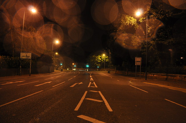
Image: © Lewis Clarke Taken: 5 Oct 2010
The road heading towards the junction with Wimborne Road near the cemetery.
Images are licensed for reuse under creativecommons.org/licenses/by-sa/2.0
Image Location
Latitude
50.732389
Longitude
-1.87316