Redevelopment on Outwood Lane
Introduction
The photograph on this page of Redevelopment on Outwood Lane by Robin Webster as part of the Geograph project.
The Geograph project started in 2005 with the aim of publishing, organising and preserving representative images for every square kilometre of Great Britain, Ireland and the Isle of Man.

There are currently over 7.5m images from over 14,400 individuals and you can help contribute to the project by visiting https://www.geograph.org.uk
Redevelopment on Outwood Lane
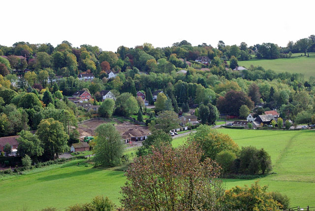
Image: © Robin Webster Taken: 6 Oct 2010
Four fairly modern detached houses with double garages have been demolished to create the brownfield site in Chipsted Bottom. What profit-making development will take their place? It will be handy for the Ramblers Rest pub at the right.
Images are licensed for reuse under creativecommons.org/licenses/by-sa/2.0
Image Location
Latitude
51.303644
Longitude
-0.174533