Snodland Village Sign
Introduction
The photograph on this page of Snodland Village Sign by David Anstiss as part of the Geograph project.
The Geograph project started in 2005 with the aim of publishing, organising and preserving representative images for every square kilometre of Great Britain, Ireland and the Isle of Man.

There are currently over 7.5m images from over 14,400 individuals and you can help contribute to the project by visiting https://www.geograph.org.uk
Snodland Village Sign
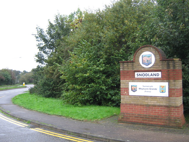
Image: © David Anstiss Taken: 5 Oct 2010
On Holborough Road, near the A228 Halling bypass (on the left). This town/village has two of these brick built signs, either end of the main road through the village. The other is near the Malling Road roundabout, at the other end of the A228 bypass (now called the Snodland bypass!).
Images are licensed for reuse under creativecommons.org/licenses/by-sa/2.0
Image Location
Latitude
51.334251
Longitude
0.445153