Close-up of Halling Village Sign
Introduction
The photograph on this page of Close-up of Halling Village Sign by David Anstiss as part of the Geograph project.
The Geograph project started in 2005 with the aim of publishing, organising and preserving representative images for every square kilometre of Great Britain, Ireland and the Isle of Man.

There are currently over 7.5m images from over 14,400 individuals and you can help contribute to the project by visiting https://www.geograph.org.uk
Close-up of Halling Village Sign
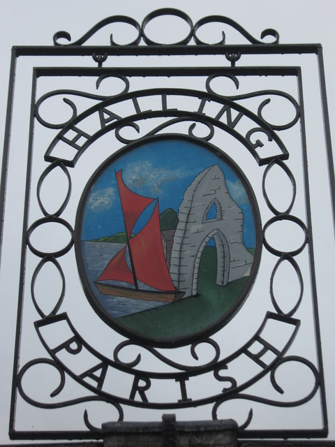
Image: © David Anstiss Taken: 5 Oct 2010
A close-up photo of Image It shows a small boat in the nearby River Medway (note; a ferry service used to lead from Halling across to Wouldham). Also it shows a piece of the Bishop of Rochester's Palace (now in ruins). See http://www.geograph.org.uk/photo/356344 for a photo and more details.
Images are licensed for reuse under creativecommons.org/licenses/by-sa/2.0
Image Location
Latitude
51.349502
Longitude
0.446971