Holly Lane car park - changes
Introduction
The photograph on this page of Holly Lane car park - changes by Robin Webster as part of the Geograph project.
The Geograph project started in 2005 with the aim of publishing, organising and preserving representative images for every square kilometre of Great Britain, Ireland and the Isle of Man.

There are currently over 7.5m images from over 14,400 individuals and you can help contribute to the project by visiting https://www.geograph.org.uk
Holly Lane car park - changes
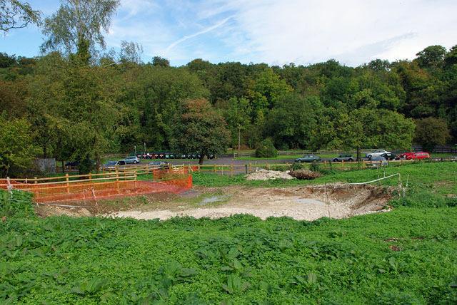
Image: © Robin Webster Taken: 6 Oct 2010
Improvements are being made to the car park surrounds - fencing and better paths, and something in this excavation - probably a picnic area.
Images are licensed for reuse under creativecommons.org/licenses/by-sa/2.0
Image Location


Leaflet Map data © OpenStreetMap
Latitude
51.309319
Longitude
-0.175169