Drew Street
Introduction
The photograph on this page of Drew Street by P L Chadwick as part of the Geograph project.
The Geograph project started in 2005 with the aim of publishing, organising and preserving representative images for every square kilometre of Great Britain, Ireland and the Isle of Man.

There are currently over 7.5m images from over 14,400 individuals and you can help contribute to the project by visiting https://www.geograph.org.uk
Drew Street
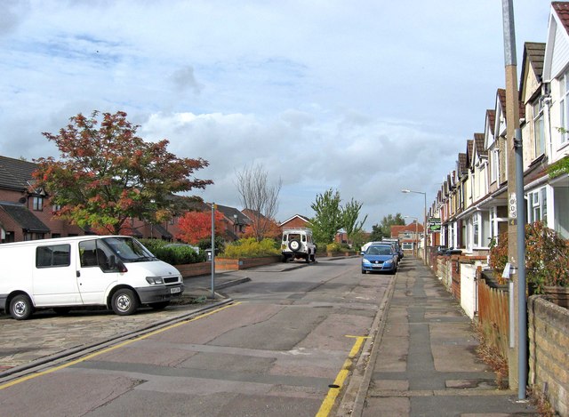
Image: © P L Chadwick Taken: 5 Oct 2010
This street is typical of many in the Rodbourne area, with a combination of both modern housing, and much older residential properties. The latter date from 1907, and were designed by William Drew, a local architect. The street was named after him. The modern properties in this street are mainly flats, known as Mannington Court, built since the turn of the present century.
Images are licensed for reuse under creativecommons.org/licenses/by-sa/2.0
Image Location
Latitude
51.563718
Longitude
-1.806784