Bletchley Rugby and Cricket Club House
Introduction
The photograph on this page of Bletchley Rugby and Cricket Club House by Mr Biz as part of the Geograph project.
The Geograph project started in 2005 with the aim of publishing, organising and preserving representative images for every square kilometre of Great Britain, Ireland and the Isle of Man.

There are currently over 7.5m images from over 14,400 individuals and you can help contribute to the project by visiting https://www.geograph.org.uk
Bletchley Rugby and Cricket Club House
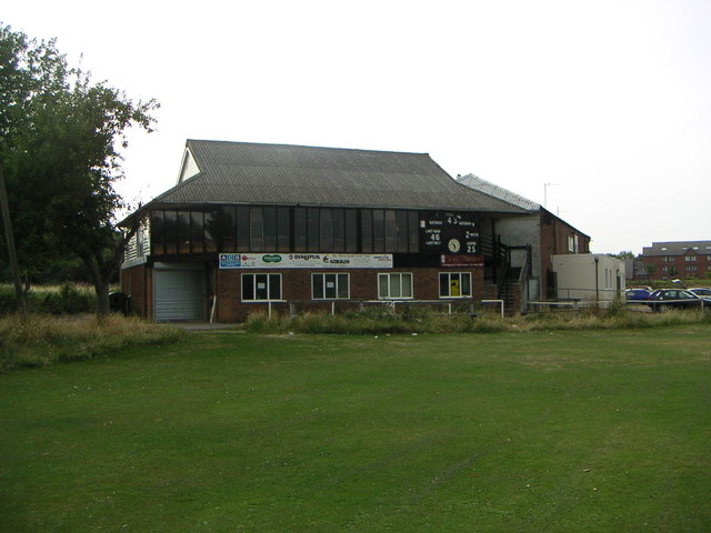
Image: © Mr Biz Taken: 27 Jul 2006
Club house at the Manor Fields sports ground, just off Watling St (the old A5).
Images are licensed for reuse under creativecommons.org/licenses/by-sa/2.0
Image Location
Latitude
51.994658
Longitude
-0.708068