Manor Farm Boys Club
Introduction
The photograph on this page of Manor Farm Boys Club by Eirian Evans as part of the Geograph project.
The Geograph project started in 2005 with the aim of publishing, organising and preserving representative images for every square kilometre of Great Britain, Ireland and the Isle of Man.

There are currently over 7.5m images from over 14,400 individuals and you can help contribute to the project by visiting https://www.geograph.org.uk
Manor Farm Boys Club
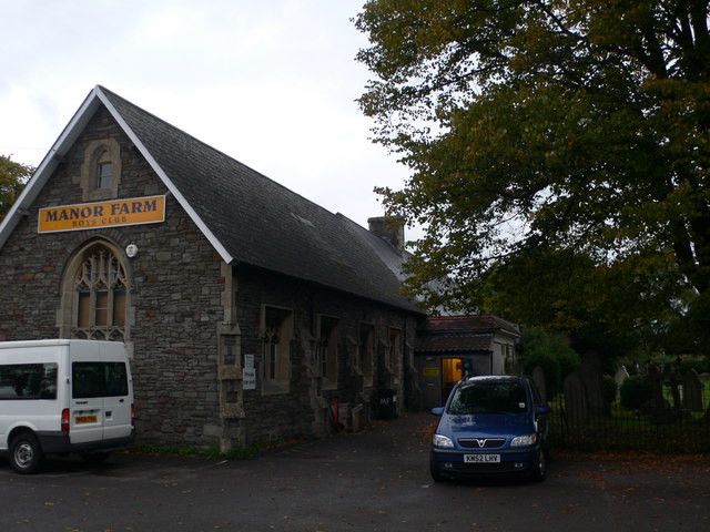
Image: © Eirian Evans Taken: 30 Sep 2010
Sports and activity youth club for boys in the old Horfield Church School building near Horfield Common.
Images are licensed for reuse under creativecommons.org/licenses/by-sa/2.0
Image Location


Leaflet Map data © OpenStreetMap
Latitude
51.488032
Longitude
-2.590163