Path to Ruswarp
Introduction
The photograph on this page of Path to Ruswarp by Derek Harper as part of the Geograph project.
The Geograph project started in 2005 with the aim of publishing, organising and preserving representative images for every square kilometre of Great Britain, Ireland and the Isle of Man.

There are currently over 7.5m images from over 14,400 individuals and you can help contribute to the project by visiting https://www.geograph.org.uk
Path to Ruswarp
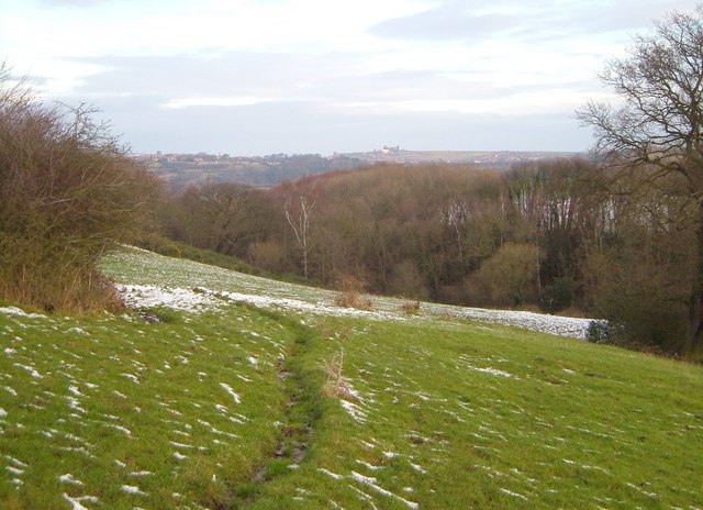
Image: © Derek Harper Taken: 31 Dec 2005
The footpath between Buskey House Farm and Ruswarp passes through a gap in a field boundary. The path is descending towards the Esk valley, along the side of the wooded Buskey Beck valley. Whitby Abbey on the skyline.
Images are licensed for reuse under creativecommons.org/licenses/by-sa/2.0
Image Location
Latitude
54.462358
Longitude
-0.634668