Upper Trinity Street viaduct
Introduction
The photograph on this page of Upper Trinity Street viaduct by Michael Westley as part of the Geograph project.
The Geograph project started in 2005 with the aim of publishing, organising and preserving representative images for every square kilometre of Great Britain, Ireland and the Isle of Man.

There are currently over 7.5m images from over 14,400 individuals and you can help contribute to the project by visiting https://www.geograph.org.uk
Upper Trinity Street viaduct
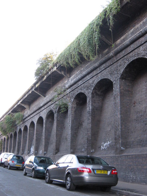
Image: © Michael Westley Taken: 4 Oct 2010
Extensive arches forming structure of elevated railway line, near Bordesley. Notice the overhang (now nature has taken over) - curious why this was built so ? any ideas ?
Images are licensed for reuse under creativecommons.org/licenses/by-sa/2.0
Image Location
Latitude
52.474121
Longitude
-1.880118