Looking southeast from Forest Heights
Introduction
The photograph on this page of Looking southeast from Forest Heights by Malcolm Spicer as part of the Geograph project.
The Geograph project started in 2005 with the aim of publishing, organising and preserving representative images for every square kilometre of Great Britain, Ireland and the Isle of Man.

There are currently over 7.5m images from over 14,400 individuals and you can help contribute to the project by visiting https://www.geograph.org.uk
Looking southeast from Forest Heights
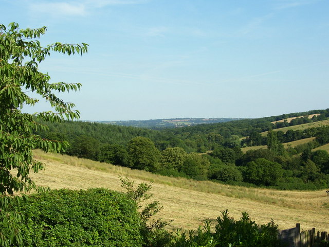
Image: © Malcolm Spicer Taken: 24 Jul 2006
This view is from the garden of Forest Heights looking southeast. There is farmland in the foreground, Ribbesford and Aveley Woods in the middleground and Droitwich and the M5 on the horizon. Stourport is hidden by the woods.
Images are licensed for reuse under creativecommons.org/licenses/by-sa/2.0
Image Location


Leaflet Map data © OpenStreetMap
Latitude
52.350102
Longitude
-2.331744