Byway to Courtsole Farm
Introduction
The photograph on this page of Byway to Courtsole Farm by David Anstiss as part of the Geograph project.
The Geograph project started in 2005 with the aim of publishing, organising and preserving representative images for every square kilometre of Great Britain, Ireland and the Isle of Man.

There are currently over 7.5m images from over 14,400 individuals and you can help contribute to the project by visiting https://www.geograph.org.uk
Byway to Courtsole Farm
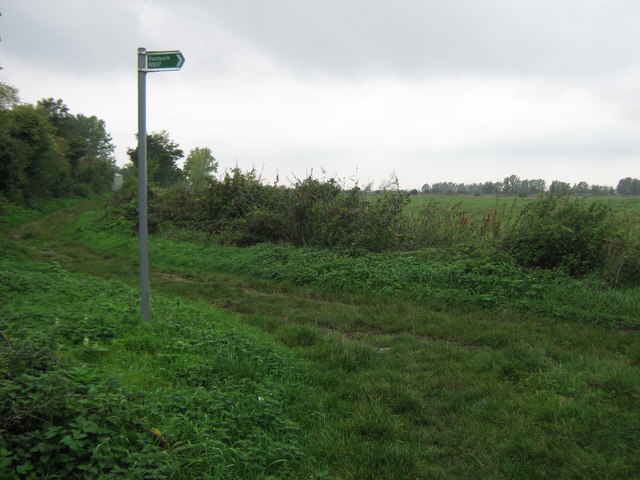
Image: © David Anstiss Taken: 4 Oct 2010
This track leads straight on from Green Lane towards the farm on Pickle's Way. A footpath also leads right (about 600 yards) on the Farthing Wall (track) into the Cliffe Marshes and then stops.
Images are licensed for reuse under creativecommons.org/licenses/by-sa/2.0
Image Location


Leaflet Map data © OpenStreetMap
Latitude
51.463839
Longitude
0.500884