The Toot Motte
Introduction
The photograph on this page of The Toot Motte by Mr Biz as part of the Geograph project.
The Geograph project started in 2005 with the aim of publishing, organising and preserving representative images for every square kilometre of Great Britain, Ireland and the Isle of Man.

There are currently over 7.5m images from over 14,400 individuals and you can help contribute to the project by visiting https://www.geograph.org.uk
The Toot Motte
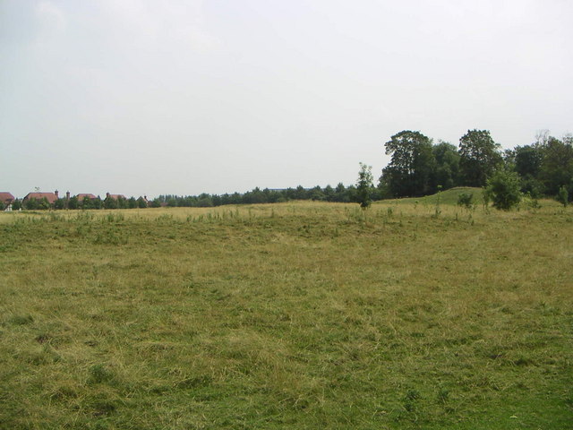
Image: © Mr Biz Taken: 27 Jul 2006
"The Toot - it means lookout hill - is a motte-and-bailey fort. It is thought to date from the 12th century, but this is uncertain because of the lack of coins or other finds there." shenleybrookend.net This is a view of the site remains. To the right of this photo you can see what's left of the lookout hill.
Images are licensed for reuse under creativecommons.org/licenses/by-sa/2.0
Image Location
Latitude
52.019853
Longitude
-0.794783