Lamlash: The Mound
Introduction
The photograph on this page of Lamlash: The Mound by Chris Downer as part of the Geograph project.
The Geograph project started in 2005 with the aim of publishing, organising and preserving representative images for every square kilometre of Great Britain, Ireland and the Isle of Man.

There are currently over 7.5m images from over 14,400 individuals and you can help contribute to the project by visiting https://www.geograph.org.uk
Lamlash: The Mound
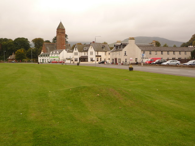
Image: © Chris Downer Taken: 27 Sep 2010
This small, unassuming mound, in the lawn alongside the shore, was formed by the first of 400 islanders who resettled in Canada, leaving Lamlash for their new lives on 25 April 1829. The Rev. A. Mackay preached from it on that day as they set sail. For the whole story, see Image The memorial is opposite, just across the road to our right. The village centre, including shops and the parish church, is in the background.
Images are licensed for reuse under creativecommons.org/licenses/by-sa/2.0
Image Location
Latitude
55.53328
Longitude
-5.127313