Lyme Regis : Coastal Path
Introduction
The photograph on this page of Lyme Regis : Coastal Path by Lewis Clarke as part of the Geograph project.
The Geograph project started in 2005 with the aim of publishing, organising and preserving representative images for every square kilometre of Great Britain, Ireland and the Isle of Man.

There are currently over 7.5m images from over 14,400 individuals and you can help contribute to the project by visiting https://www.geograph.org.uk
Lyme Regis : Coastal Path
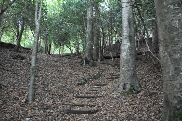
Image: © Lewis Clarke Taken: 30 Sep 2010
The coastal path goes up the hill and heads towards Charmouth through the woodlands.
Images are licensed for reuse under creativecommons.org/licenses/by-sa/2.0
Image Location
Latitude
50.734331
Longitude
-2.930047