Switchback road and the Hawksteel Burn valley
Introduction
The photograph on this page of Switchback road and the Hawksteel Burn valley by Oliver Dixon as part of the Geograph project.
The Geograph project started in 2005 with the aim of publishing, organising and preserving representative images for every square kilometre of Great Britain, Ireland and the Isle of Man.

There are currently over 7.5m images from over 14,400 individuals and you can help contribute to the project by visiting https://www.geograph.org.uk
Switchback road and the Hawksteel Burn valley
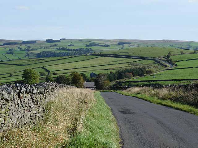
Image: © Oliver Dixon Taken: 30 Sep 2010
A switchback road over the ridge separating West Allendale and Allendale. Hawksteel Farm can be seen in the dip. In the distance are the moors of Hexhamshire Common beyond Allendale.
Images are licensed for reuse under creativecommons.org/licenses/by-sa/2.0
Image Location
Latitude
54.8927
Longitude
-2.298686