Track down to Weston Road in Egmanton
Introduction
The photograph on this page of Track down to Weston Road in Egmanton by Andrew Hill as part of the Geograph project.
The Geograph project started in 2005 with the aim of publishing, organising and preserving representative images for every square kilometre of Great Britain, Ireland and the Isle of Man.

There are currently over 7.5m images from over 14,400 individuals and you can help contribute to the project by visiting https://www.geograph.org.uk
Track down to Weston Road in Egmanton
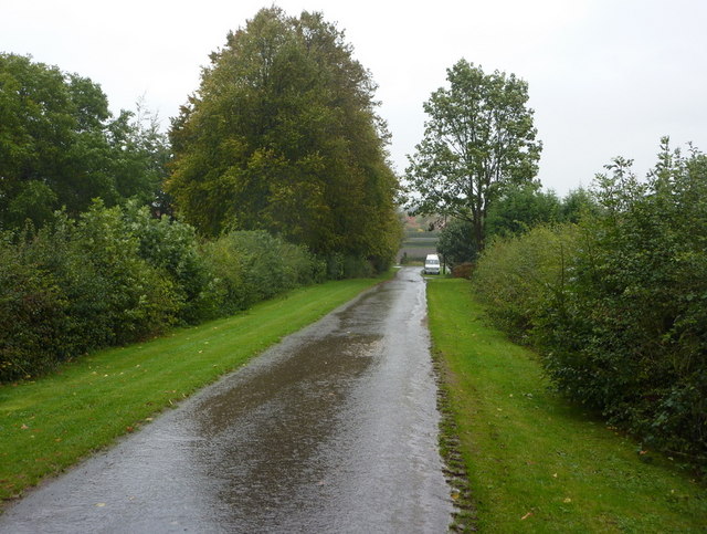
Image: © Andrew Hill Taken: 1 Oct 2010
The green verges and hedges looked bright on a dull wet day, with hardly a hint that autumn is just around the corner.
Images are licensed for reuse under creativecommons.org/licenses/by-sa/2.0
Image Location
Latitude
53.210621
Longitude
-0.897602