Spring Grove from Manchester Rd
Introduction
The photograph on this page of Spring Grove from Manchester Rd by Caitlin Sagan as part of the Geograph project.
The Geograph project started in 2005 with the aim of publishing, organising and preserving representative images for every square kilometre of Great Britain, Ireland and the Isle of Man.

There are currently over 7.5m images from over 14,400 individuals and you can help contribute to the project by visiting https://www.geograph.org.uk
Spring Grove from Manchester Rd
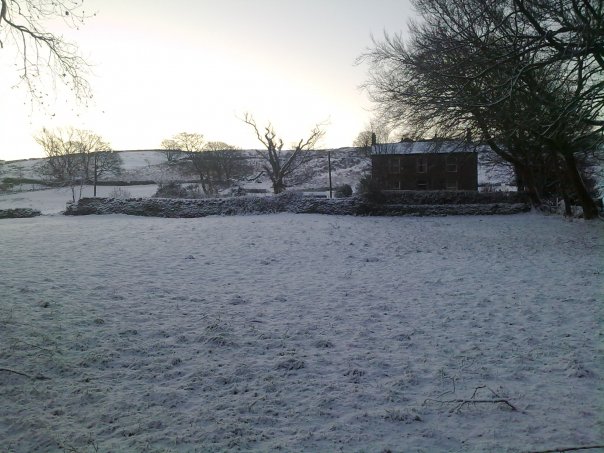
Image: © Caitlin Sagan Taken: 5 Jan 2010
Spring Grove from Manchester Rd. The garden to the left of the house contains an old sycamore which was damaged by a mini tornado in 2008.
Images are licensed for reuse under creativecommons.org/licenses/by-sa/2.0
Image Location


Leaflet Map data © OpenStreetMap
Latitude
53.610456
Longitude
-1.903834