Flush bracket G2769 on St. Mary's & Christ Church, Llanfairfechan
Introduction
The photograph on this page of Flush bracket G2769 on St. Mary's & Christ Church, Llanfairfechan by Meirion as part of the Geograph project.
The Geograph project started in 2005 with the aim of publishing, organising and preserving representative images for every square kilometre of Great Britain, Ireland and the Isle of Man.

There are currently over 7.5m images from over 14,400 individuals and you can help contribute to the project by visiting https://www.geograph.org.uk
Flush bracket G2769 on St. Mary's & Christ Church, Llanfairfechan
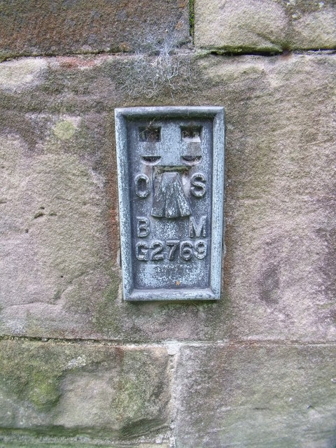
Image: © Meirion Taken: 23 Sep 2010
This flush bracket located on the N angle of the NE face of St. Mary's & Christ Church in Llanfairfechan is shown in the Ordnance Survey database as being 31.7813m above the Newlyn datum.
Images are licensed for reuse under creativecommons.org/licenses/by-sa/2.0
Image Location
Latitude
53.252879
Longitude
-3.977902