SW edge of Raglan
Introduction
The photograph on this page of SW edge of Raglan by Jaggery as part of the Geograph project.
The Geograph project started in 2005 with the aim of publishing, organising and preserving representative images for every square kilometre of Great Britain, Ireland and the Isle of Man.

There are currently over 7.5m images from over 14,400 individuals and you can help contribute to the project by visiting https://www.geograph.org.uk
SW edge of Raglan
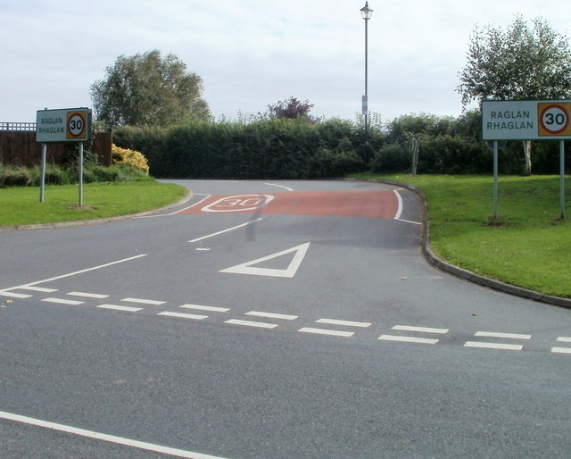
Image: © Jaggery Taken: 26 Sep 2010
Usk Road does a right turn here to enter Raglan. The road from Usk which continues beyond the lower left corner of the view, is now named Groesonen Road, and follows a course along the western edge of Raglan.
Images are licensed for reuse under creativecommons.org/licenses/by-sa/2.0
Image Location
Latitude
51.761239
Longitude
-2.859166