Brent Street, Brent Knoll
Introduction
The photograph on this page of Brent Street, Brent Knoll by Derek Harper as part of the Geograph project.
The Geograph project started in 2005 with the aim of publishing, organising and preserving representative images for every square kilometre of Great Britain, Ireland and the Isle of Man.

There are currently over 7.5m images from over 14,400 individuals and you can help contribute to the project by visiting https://www.geograph.org.uk
Brent Street, Brent Knoll
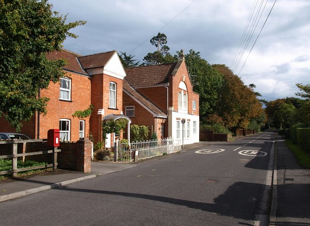
Image: © Derek Harper Taken: 23 Sep 2010
Almost the whole 6 kilometre circumference of Brent Knoll (the hill) is followed by a line of buildings at the edge of the surrounding levels; the most continuous development is here in Brent Knoll (the village) on the southwest side. The post box is TA9 71.
Images are licensed for reuse under creativecommons.org/licenses/by-sa/2.0
Image Location
Latitude
51.253332
Longitude
-2.959139