Chiltern Way Junction
Introduction
The photograph on this page of Chiltern Way Junction by Tom Presland as part of the Geograph project.
The Geograph project started in 2005 with the aim of publishing, organising and preserving representative images for every square kilometre of Great Britain, Ireland and the Isle of Man.

There are currently over 7.5m images from over 14,400 individuals and you can help contribute to the project by visiting https://www.geograph.org.uk
Chiltern Way Junction
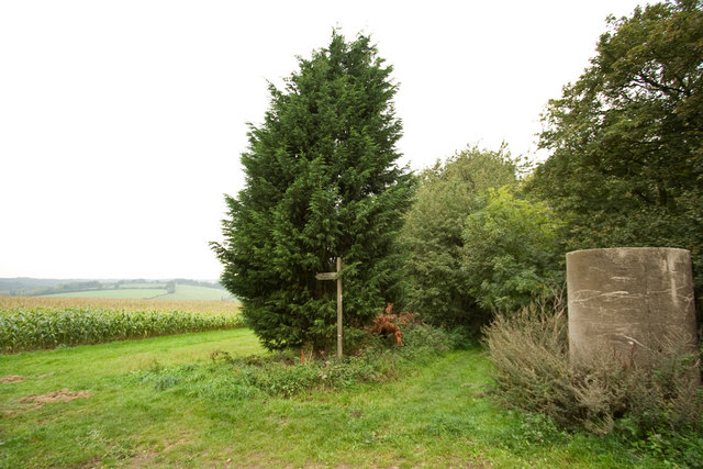
Image: © Tom Presland Taken: 28 Sep 2010
The Chiltern Way (centre) veers off from a Right of Way to enter a small wood. From this point there are a number of fine circular routes to take, one of which comes back up the broad green path to the left. The grey object is one of what appear to be unused sewerage pipes stood on end.
Images are licensed for reuse under creativecommons.org/licenses/by-sa/2.0
Image Location
Latitude
51.778115
Longitude
-0.508135