Follow the Weeds
Introduction
The photograph on this page of Follow the Weeds by Des Blenkinsopp as part of the Geograph project.
The Geograph project started in 2005 with the aim of publishing, organising and preserving representative images for every square kilometre of Great Britain, Ireland and the Isle of Man.

There are currently over 7.5m images from over 14,400 individuals and you can help contribute to the project by visiting https://www.geograph.org.uk
Follow the Weeds
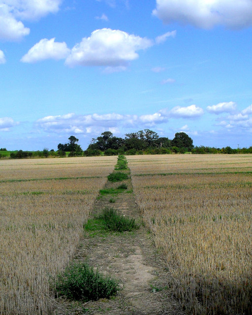
Image: © Des Blenkinsopp Taken: 1 Sep 2010
A path was cut through the crop, but after the harvest the weeds are taller than the stubble. The path alignment on site is slightly different from how it's shown on the map.
Images are licensed for reuse under creativecommons.org/licenses/by-sa/2.0
Image Location
Latitude
51.636514
Longitude
-1.056399