Fayre Oaks, Raglan
Introduction
The photograph on this page of Fayre Oaks, Raglan by Jaggery as part of the Geograph project.
The Geograph project started in 2005 with the aim of publishing, organising and preserving representative images for every square kilometre of Great Britain, Ireland and the Isle of Man.

There are currently over 7.5m images from over 14,400 individuals and you can help contribute to the project by visiting https://www.geograph.org.uk
Fayre Oaks, Raglan
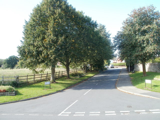
Image: © Jaggery Taken: 26 Sep 2010
Viewed across Chepstow Road. A short tree-lined section of road leads to houses on Fayre Oaks. The street signs also show the Welsh name of the street, Derwen Deg. http://www.geograph.org.uk/photo/3803638 to a view in winter.
Images are licensed for reuse under creativecommons.org/licenses/by-sa/2.0
Image Location
Latitude
51.762191
Longitude
-2.851939