Shiplate Road
Introduction
The photograph on this page of Shiplate Road by Derek Harper as part of the Geograph project.
The Geograph project started in 2005 with the aim of publishing, organising and preserving representative images for every square kilometre of Great Britain, Ireland and the Isle of Man.

There are currently over 7.5m images from over 14,400 individuals and you can help contribute to the project by visiting https://www.geograph.org.uk
Shiplate Road
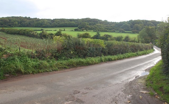
Image: © Derek Harper Taken: 23 Sep 2010
The road, seen from the end of the drive to Shiplate Farm, winds along the foot of the Mendips, with a new plantation of fruit trees on the well-drained south-facing field to the left.
Images are licensed for reuse under creativecommons.org/licenses/by-sa/2.0
Image Location
Latitude
51.302907
Longitude
-2.922015