West end of Streamleaze, Thornbury
Introduction
The photograph on this page of West end of Streamleaze, Thornbury by Robin Stott as part of the Geograph project.
The Geograph project started in 2005 with the aim of publishing, organising and preserving representative images for every square kilometre of Great Britain, Ireland and the Isle of Man.

There are currently over 7.5m images from over 14,400 individuals and you can help contribute to the project by visiting https://www.geograph.org.uk
West end of Streamleaze, Thornbury
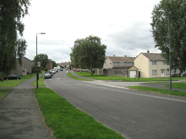
Image: © Robin Stott Taken: 18 Sep 2010
Streamleaze is a residential road some 800m long, curving from south of the town centre to meet Grovesend Road. The view in the opposite direction, from the next square, is Image
Images are licensed for reuse under creativecommons.org/licenses/by-sa/2.0
Image Location
Latitude
51.604965
Longitude
-2.524102