Bradbourne House
Introduction
The photograph on this page of Bradbourne House by N Chadwick as part of the Geograph project.
The Geograph project started in 2005 with the aim of publishing, organising and preserving representative images for every square kilometre of Great Britain, Ireland and the Isle of Man.

There are currently over 7.5m images from over 14,400 individuals and you can help contribute to the project by visiting https://www.geograph.org.uk
Bradbourne House
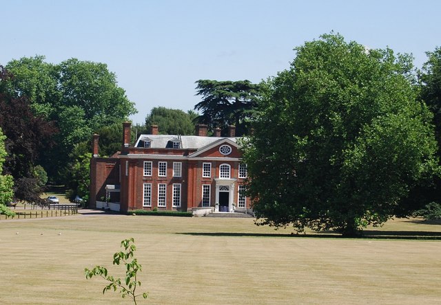
Image: © N Chadwick Taken: 10 Jul 2010
An 18th century Grade I listed country House ( http://www.britishlistedbuildings.co.uk/en-179355-bradbourne-house-east-malling-and-larkfi ). Open to the public and organises functions. http://www.bradbournehousekent.co.uk/index.asp
Images are licensed for reuse under creativecommons.org/licenses/by-sa/2.0
Image Location
Latitude
51.294382
Longitude
0.442173