Drainage channel by Trout Lane
Introduction
The photograph on this page of Drainage channel by Trout Lane by Derek Harper as part of the Geograph project.
The Geograph project started in 2005 with the aim of publishing, organising and preserving representative images for every square kilometre of Great Britain, Ireland and the Isle of Man.

There are currently over 7.5m images from over 14,400 individuals and you can help contribute to the project by visiting https://www.geograph.org.uk
Drainage channel by Trout Lane
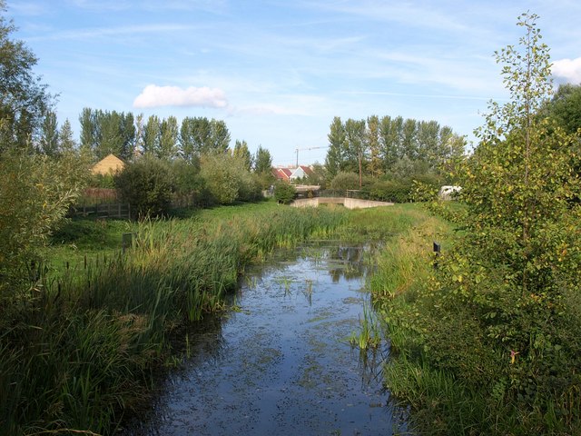
Image: © Derek Harper Taken: 20 Sep 2010
Looking along Image (the River Pinn?) from the bridge carrying Beeches Way. Between the poplars can be seen new buildings around the area shown in Image
Images are licensed for reuse under creativecommons.org/licenses/by-sa/2.0
Image Location
Latitude
51.513688
Longitude
-0.482057