Drainage channel by Trout Lane
Introduction
The photograph on this page of Drainage channel by Trout Lane by Derek Harper as part of the Geograph project.
The Geograph project started in 2005 with the aim of publishing, organising and preserving representative images for every square kilometre of Great Britain, Ireland and the Isle of Man.

There are currently over 7.5m images from over 14,400 individuals and you can help contribute to the project by visiting https://www.geograph.org.uk
Drainage channel by Trout Lane
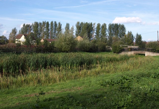
Image: © Derek Harper Taken: 20 Sep 2010
This channel seems to follow the course of the River Pinn south of Fray's River, but it doesn't appear on maps. View from Beeches Way following Trout Lane as it cuts across between the main Grand Union Canal and the canal's Slough arm.
Images are licensed for reuse under creativecommons.org/licenses/by-sa/2.0
Image Location
Latitude
51.513603
Longitude
-0.482492