Waterside Road
Introduction
The photograph on this page of Waterside Road by Tom Jolliffe as part of the Geograph project.
The Geograph project started in 2005 with the aim of publishing, organising and preserving representative images for every square kilometre of Great Britain, Ireland and the Isle of Man.

There are currently over 7.5m images from over 14,400 individuals and you can help contribute to the project by visiting https://www.geograph.org.uk
Waterside Road
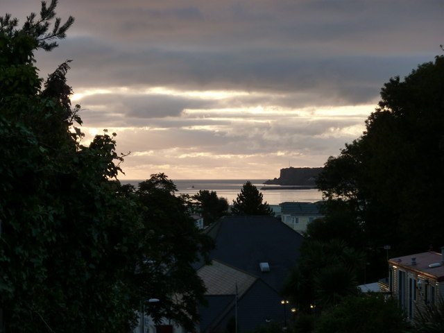
Image: © Tom Jolliffe Taken: 19 Sep 2010
The early morning light is reflected from the house windows and roofs on Waterside Road, which runs down to the Holiday camp. The Brixham promontory can be seen in the distance.
Images are licensed for reuse under creativecommons.org/licenses/by-sa/2.0
Image Location
Latitude
50.409621
Longitude
-3.558419