Castle Farm Mews, Jesmond
Introduction
The photograph on this page of Castle Farm Mews, Jesmond by Andrew Curtis as part of the Geograph project.
The Geograph project started in 2005 with the aim of publishing, organising and preserving representative images for every square kilometre of Great Britain, Ireland and the Isle of Man.

There are currently over 7.5m images from over 14,400 individuals and you can help contribute to the project by visiting https://www.geograph.org.uk
Castle Farm Mews, Jesmond
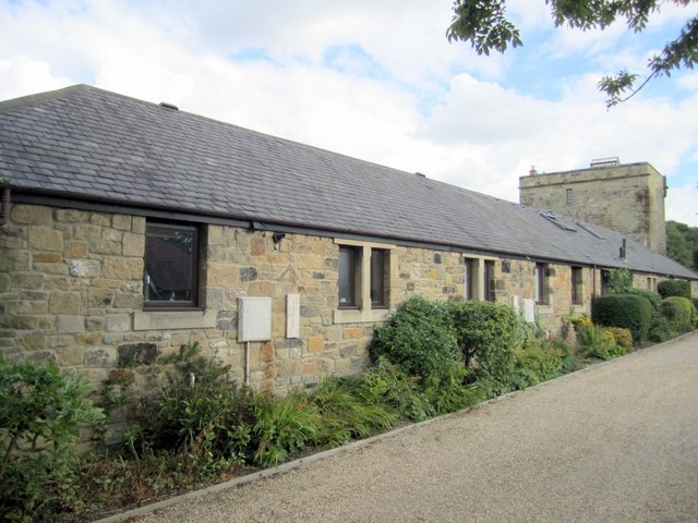
Image: © Andrew Curtis Taken: 9 Sep 2010
Another photo of the new development on the Castle Farm site is here Image This building lies opposite the old farm cottages. The folly can be seen on the right and has battlements on the far side, hidden from view Image
Images are licensed for reuse under creativecommons.org/licenses/by-sa/2.0
Image Location
Latitude
55.001244
Longitude
-1.603054