Merton Way, Ponteland
Introduction
The photograph on this page of Merton Way, Ponteland by Andrew Curtis as part of the Geograph project.
The Geograph project started in 2005 with the aim of publishing, organising and preserving representative images for every square kilometre of Great Britain, Ireland and the Isle of Man.

There are currently over 7.5m images from over 14,400 individuals and you can help contribute to the project by visiting https://www.geograph.org.uk
Merton Way, Ponteland
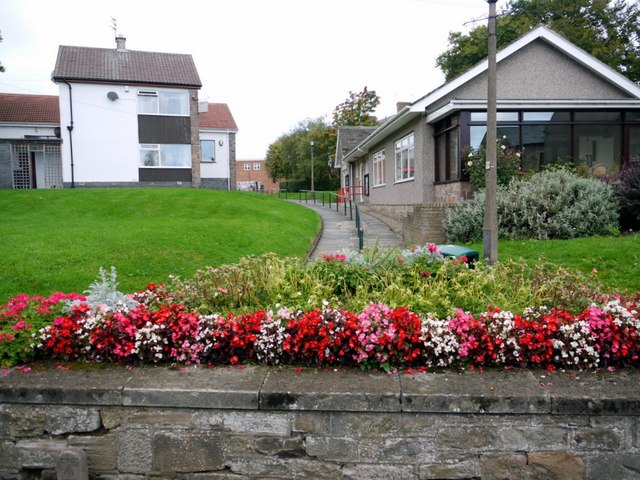
Image: © Andrew Curtis Taken: 24 Sep 2010
A walkway leading to the Shopping Centre which was built on the former site of Ponteland Railway Station and Goods Yard Image The railway was built by the North Eastern Railway Company between 1904-05 running 7 miles from South Gosforth to Ponteland via Kenton Bank Foot. The section from the city to the airport is now part of the Metro network. The line to Ponteland was closed to regular passenger traffic in 1929 but casual use continued until 1967 when Richard Beeching instigated the National Rail Closures. Ponteland had the largest goods yard on the line which was sited on the west side of the station. Facilities in 1920 included five sidings and a reversing loop, water tower, cattle dock and a large brick goods shed. Disused Stations - Ponteland: http://www.disused-stations.org.uk/p/ponteland/index.shtml
Images are licensed for reuse under creativecommons.org/licenses/by-sa/2.0
Image Location
Latitude
55.0497
Longitude
-1.744693