Demolished building in field east of Gaydon Road
Introduction
The photograph on this page of Demolished building in field east of Gaydon Road by David P Howard as part of the Geograph project.
The Geograph project started in 2005 with the aim of publishing, organising and preserving representative images for every square kilometre of Great Britain, Ireland and the Isle of Man.

There are currently over 7.5m images from over 14,400 individuals and you can help contribute to the project by visiting https://www.geograph.org.uk
Demolished building in field east of Gaydon Road
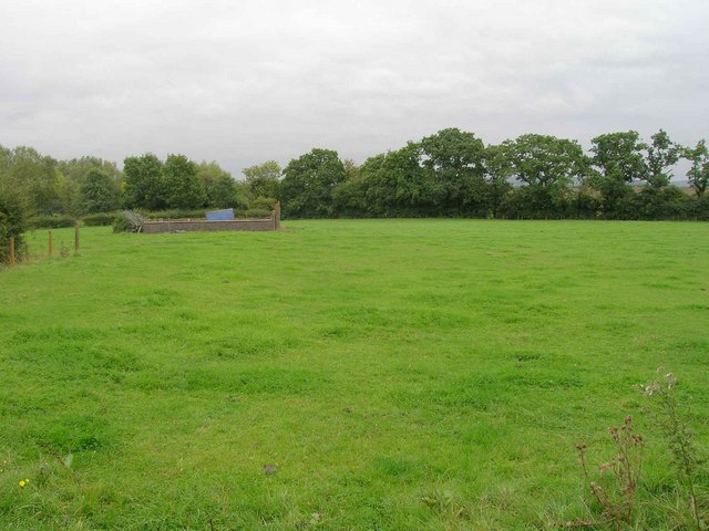
Image: © David P Howard Taken: 24 Sep 2010
View SE from the B4451 Gaydon Road, across a field, towards the remains of a demolished building.
Images are licensed for reuse under creativecommons.org/licenses/by-sa/2.0
Image Location
Latitude
52.207551
Longitude
-1.439329