Leven Road
Introduction
The photograph on this page of Leven Road by Philip Barker as part of the Geograph project.
The Geograph project started in 2005 with the aim of publishing, organising and preserving representative images for every square kilometre of Great Britain, Ireland and the Isle of Man.

There are currently over 7.5m images from over 14,400 individuals and you can help contribute to the project by visiting https://www.geograph.org.uk
Leven Road
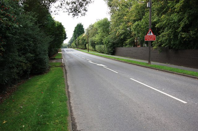
Image: © Philip Barker Taken: 22 Sep 2010
This photograph shows a view of a section of Leven Road which runs parallel to the southern edge of the grid-square. The picture was taken near Rose Hill looking in a westerly direction towards the road junction on the A67 road close to The Rookery.
Images are licensed for reuse under creativecommons.org/licenses/by-sa/2.0
Image Location
Latitude
54.501719
Longitude
-1.3437