Blaen Bran brook, Caldicot Way, Cwmbran
Introduction
The photograph on this page of Blaen Bran brook, Caldicot Way, Cwmbran by Jaggery as part of the Geograph project.
The Geograph project started in 2005 with the aim of publishing, organising and preserving representative images for every square kilometre of Great Britain, Ireland and the Isle of Man.

There are currently over 7.5m images from over 14,400 individuals and you can help contribute to the project by visiting https://www.geograph.org.uk
Blaen Bran brook, Caldicot Way, Cwmbran
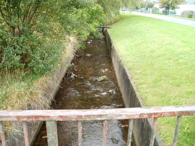
Image: © Jaggery Taken: 23 Sep 2010
Looking upstream along a brook on the south side of Caldicot Way. Behind the camera, it flows under Avondale Road and railway lines, emptying into the Afon Lwyd about 70 metres from here. Blaen Bran began in the high ground of Upper Cwmbran. This is a view http://www.geograph.org.uk/photo/1612076 of it near its source.
Images are licensed for reuse under creativecommons.org/licenses/by-sa/2.0
Image Location
Latitude
51.662852
Longitude
-3.019235