Thundersley Common Ruin
Introduction
The photograph on this page of Thundersley Common Ruin by Glyn Baker as part of the Geograph project.
The Geograph project started in 2005 with the aim of publishing, organising and preserving representative images for every square kilometre of Great Britain, Ireland and the Isle of Man.

There are currently over 7.5m images from over 14,400 individuals and you can help contribute to the project by visiting https://www.geograph.org.uk
Thundersley Common Ruin
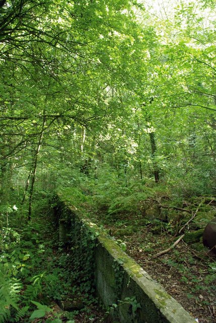
Image: © Glyn Baker Taken: 18 Sep 2010
The remains of this cinder block wall seem to be the remains of a garage or barn . There are two parallel walls 56’6” long and 22’6” apart. Any ideas of what business used to be carried on here?
Images are licensed for reuse under creativecommons.org/licenses/by-sa/2.0
Image Location
Latitude
51.575607
Longitude
0.588853