Corner of Trussel Road and St David's Road, Cwmbran
Introduction
The photograph on this page of Corner of Trussel Road and St David's Road, Cwmbran by Jaggery as part of the Geograph project.
The Geograph project started in 2005 with the aim of publishing, organising and preserving representative images for every square kilometre of Great Britain, Ireland and the Isle of Man.

There are currently over 7.5m images from over 14,400 individuals and you can help contribute to the project by visiting https://www.geograph.org.uk
Corner of Trussel Road and St David's Road, Cwmbran
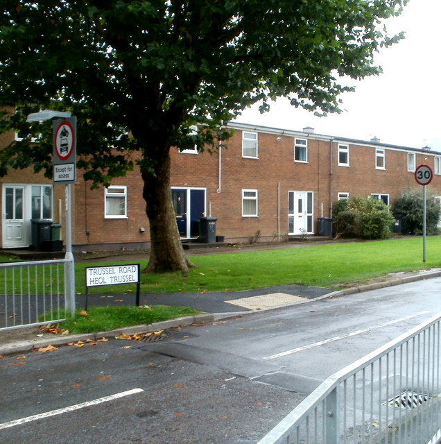
Image: © Jaggery Taken: 23 Sep 2010
Houses at the SE end of Trussel Road, viewed from the corner of St David's Road.
Images are licensed for reuse under creativecommons.org/licenses/by-sa/2.0
Image Location
Latitude
51.656547
Longitude
-3.020539