Looking up St Augustine's Reach
Introduction
The photograph on this page of Looking up St Augustine's Reach by Linda Bailey as part of the Geograph project.
The Geograph project started in 2005 with the aim of publishing, organising and preserving representative images for every square kilometre of Great Britain, Ireland and the Isle of Man.

There are currently over 7.5m images from over 14,400 individuals and you can help contribute to the project by visiting https://www.geograph.org.uk
Looking up St Augustine's Reach
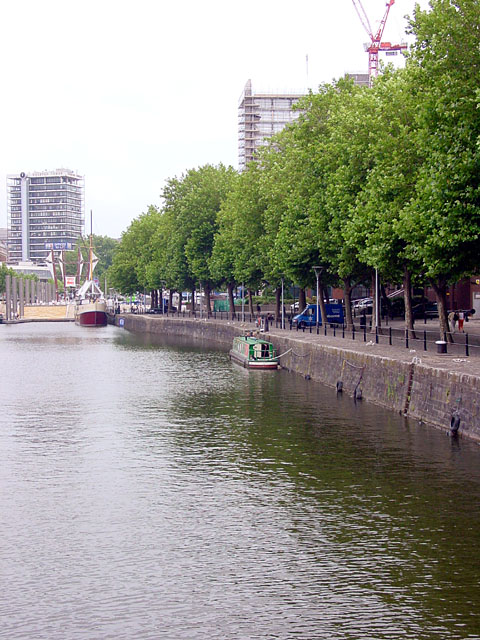
Image: © Linda Bailey Taken: 20 Jul 2006
Looking north up St Augustine's Reach whilst standing on Pero's Bridge. St Augustine's Reach was created by diverting the river Frome, originally in 1239.
Images are licensed for reuse under creativecommons.org/licenses/by-sa/2.0
Image Location


Leaflet Map data © OpenStreetMap
Latitude
51.450854
Longitude
-2.598606