Newport : Ailesbury Street viewed from Sainsbury's car park
Introduction
The photograph on this page of Newport : Ailesbury Street viewed from Sainsbury's car park by Jaggery as part of the Geograph project.
The Geograph project started in 2005 with the aim of publishing, organising and preserving representative images for every square kilometre of Great Britain, Ireland and the Isle of Man.

There are currently over 7.5m images from over 14,400 individuals and you can help contribute to the project by visiting https://www.geograph.org.uk
Newport : Ailesbury Street viewed from Sainsbury's car park
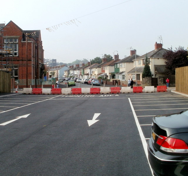
Image: © Jaggery Taken: 22 Sep 2010
Looking across the turning area at the SW edge of the car park at Sainsbury's Crindau superstore. The houses are on the west side of Ailesbury Street. On the left is Crindau Primary School. http://www.geograph.org.uk/photo/1718307
Images are licensed for reuse under creativecommons.org/licenses/by-sa/2.0
Image Location
Latitude
51.598299
Longitude
-2.997576