Loch of Housetter
Introduction
The photograph on this page of Loch of Housetter by Colin Smith as part of the Geograph project.
The Geograph project started in 2005 with the aim of publishing, organising and preserving representative images for every square kilometre of Great Britain, Ireland and the Isle of Man.

There are currently over 7.5m images from over 14,400 individuals and you can help contribute to the project by visiting https://www.geograph.org.uk
Loch of Housetter
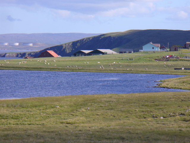
Image: © Colin Smith Taken: 22 Jul 2010
Roadside loch fringed by low moorland with sheep grazing and a few new houses. In the distance are some of the tanks at the Sullom Voe Oil Terminal.
Images are licensed for reuse under creativecommons.org/licenses/by-sa/2.0
Image Location
Latitude
60.54879
Longitude
-1.338413