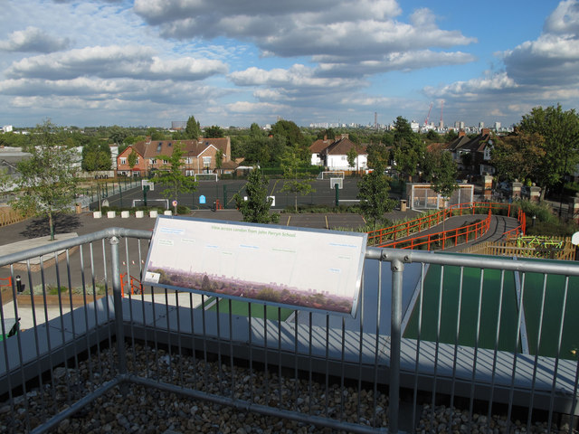
View indicator, John Perryn School
Introduction
The photograph on this page of View indicator, John Perryn School by David Hawgood as part of the Geograph project.
The Geograph project started in 2005 with the aim of publishing, organising and preserving representative images for every square kilometre of Great Britain, Ireland and the Isle of Man.
There are currently over 7.5m images from over 14,400 individuals and you can help contribute to the project by visiting https://www.geograph.org.uk

Image: © David Hawgood Taken: 18 Sep 2010
The named places in the view are Tottenham and Arsenal football stadia, Olympic Village, Telecom Tower, Canary Wharf, London Eye, Westminster Abbey, Battersea Power Station, Olympia, Earl's Court, and the Chelsea football stadium. When I visited I could also see Crystal Palace TV transmitter beyond Earl's Court. The indicator and photo were supplied by Willmott Dixon Construction, who built the new school. The photo foreground shows the play and sports area of the school, with houses in this area of East Acton beyond.

